Pilotage Support Information System
The entire pilotage process — in one system
PILOT brings together the work of the shore service and the pilot: from planning a port call and assigning a task to supporting the pilotage, issuing the pilotage receipt and storing the results.
TABLET · PILOT WORKSTATION
What PILOT is
A single system for organising and supporting pilotage
The work of a pilotage service involves many connected operations: maintaining schedules, receiving port call information, assigning pilots, preparing routes, supporting the pilotage, issuing documents and producing reports.
When these processes are carried out in different programs, spreadsheets and paper documents, information has to be transferred by hand. This makes cooperation between the shore service and the pilots harder, increases the time spent on processing data and complicates control.
PILOT brings these processes together in a single digital space. The dispatcher plans and monitors the work ashore, while the pilot receives the data required and carries out the task on the tablet. Once a pilotage is complete, its track, documents and main parameters are stored in the system.
PILOT is not a separate navigation application but a working environment for the whole pilotage service.
System components
Four connected parts of one working process
Shore segment
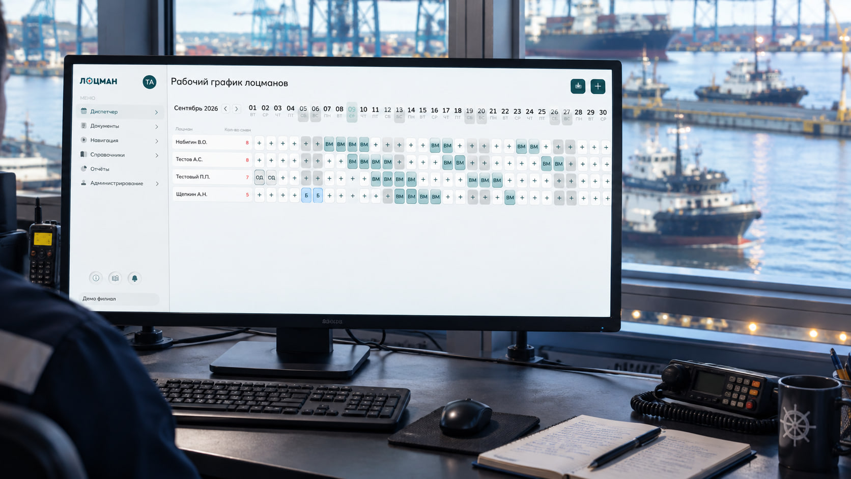
The dispatcher workstation for maintaining pilot duty schedules, planning port calls, creating and distributing tasks, monitoring their execution and working with documents.
Pilot tablet
A mobile workstation for receiving the assignment, working with the chart and the route, monitoring the navigational situation, recording the track and issuing the results of a pilotage.
Navigational data
Electronic navigational charts, AIS targets, own vessel data, routes, danger areas, bumper lines and other information layers.
Unified data space
Shared reference data, tasks, routes, tracks, pilotage receipts and reporting data, available to users in line with their roles and permissions.
All parts of PILOT work with shared data and support a single process — from assigning a task to completing it.
How the system works
From planning to storing the pilotage result
Planning
The shore service maintains the pilot duty schedule, receives or enters the port call details, creates a task and assigns the pilot to carry it out.
Preparation
The pilot receives the task on the tablet, checks the details of the vessel and of the forthcoming operation, and reviews the route and the documents required.
Pilotage
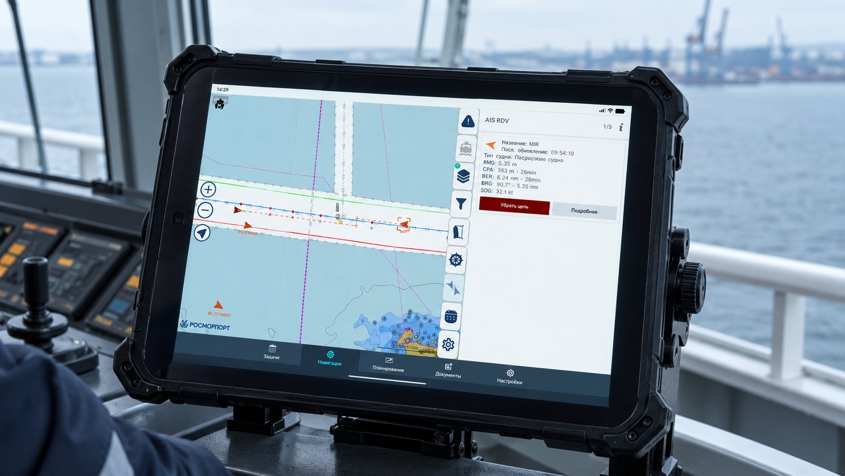
During the pilotage the tablet shows the chart, AIS targets, the route, and the position and movement parameters of the vessel. The system records the track and warns about monitored events.
Completion
The pilot fills in the pilotage receipt, records the details required and obtains the master’s signature. After synchronisation the results become available to the shore service for checking, accounting and reporting.
Pilot tablet
The pilot’s working tool throughout the pilotage
Chart and navigational situation
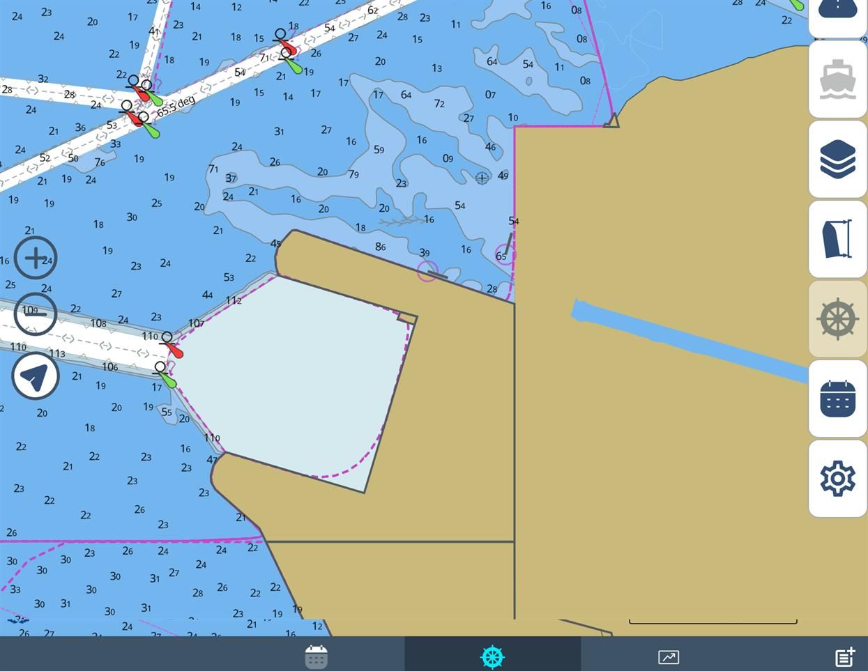
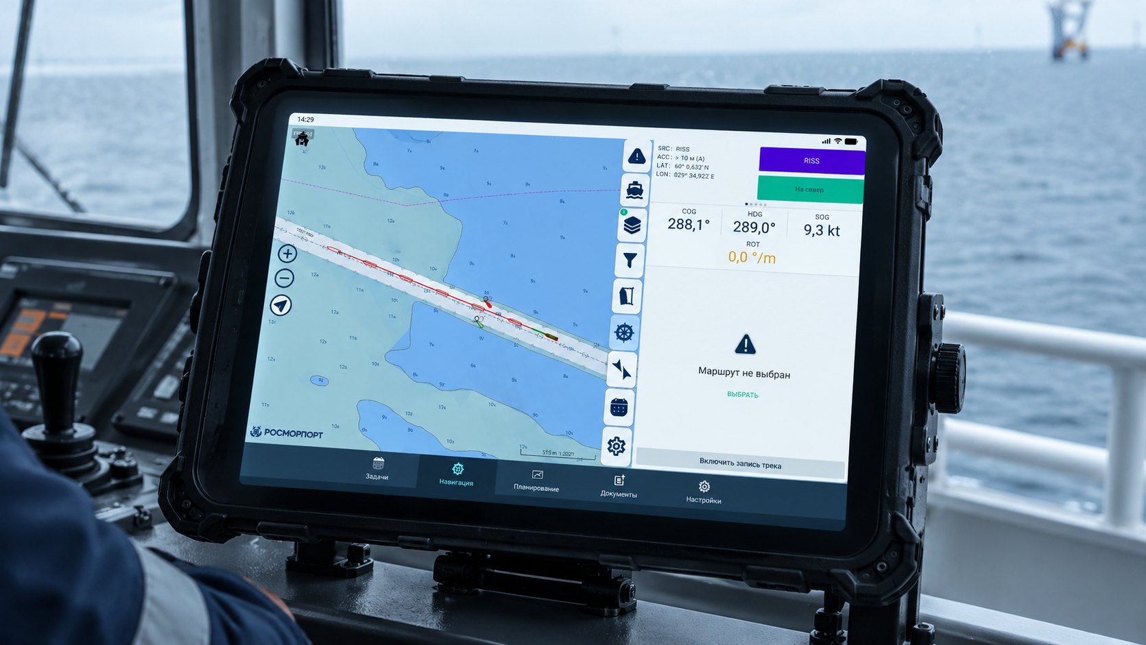
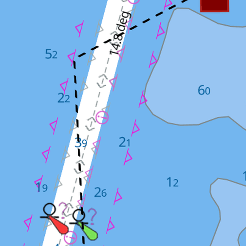
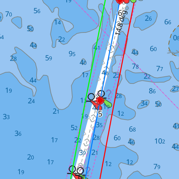
The chart shows the position of own vessel, AIS targets, navigational data and additional information layers. The interface can be used in both landscape and portrait orientation.
Route and movement control
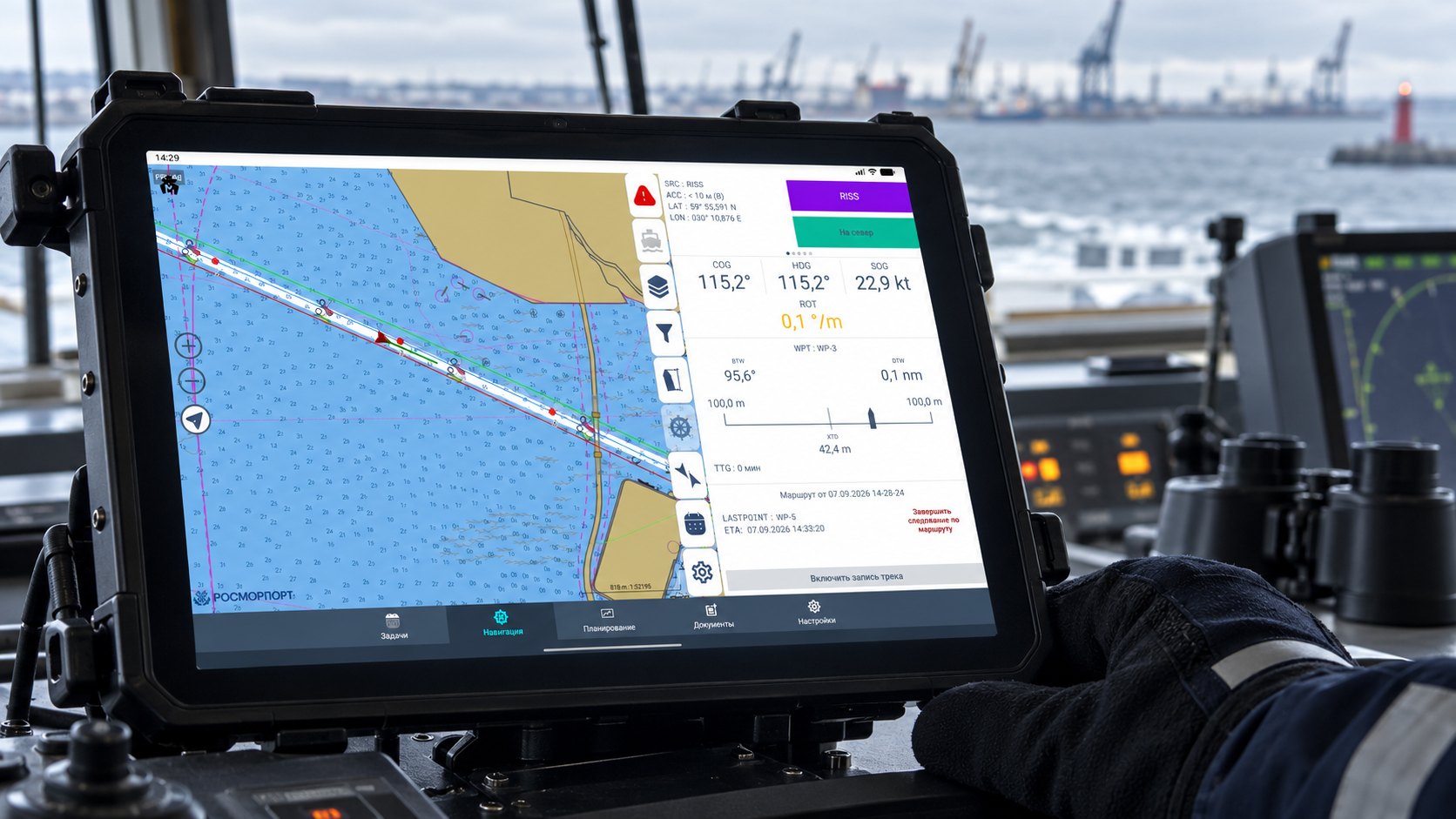
The pilot can work with routes and waypoints, monitor the position of the vessel against the set corridor and receive warnings about leaving the established limits or approaching monitored objects.
Working with the task
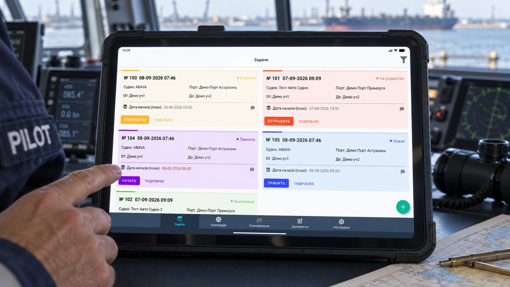
The tablet gives access to the details of the vessel, the type of operation, the start and end points of the pilotage, the pilots assigned, comments and related documents.
Issuing the results
The application makes it possible to record the track, fill in the pilotage plan and the pilotage receipt, obtain the master’s signature and pass the data to the shore segment.
Working during a temporary loss of connection
Tasks, charts, routes and reference data downloaded earlier stay available on the tablet. The information collected is passed ashore once the connection is restored. Features that use external data sources depend on the availability of communication.
Tablet screens
The interface the pilot uses on board
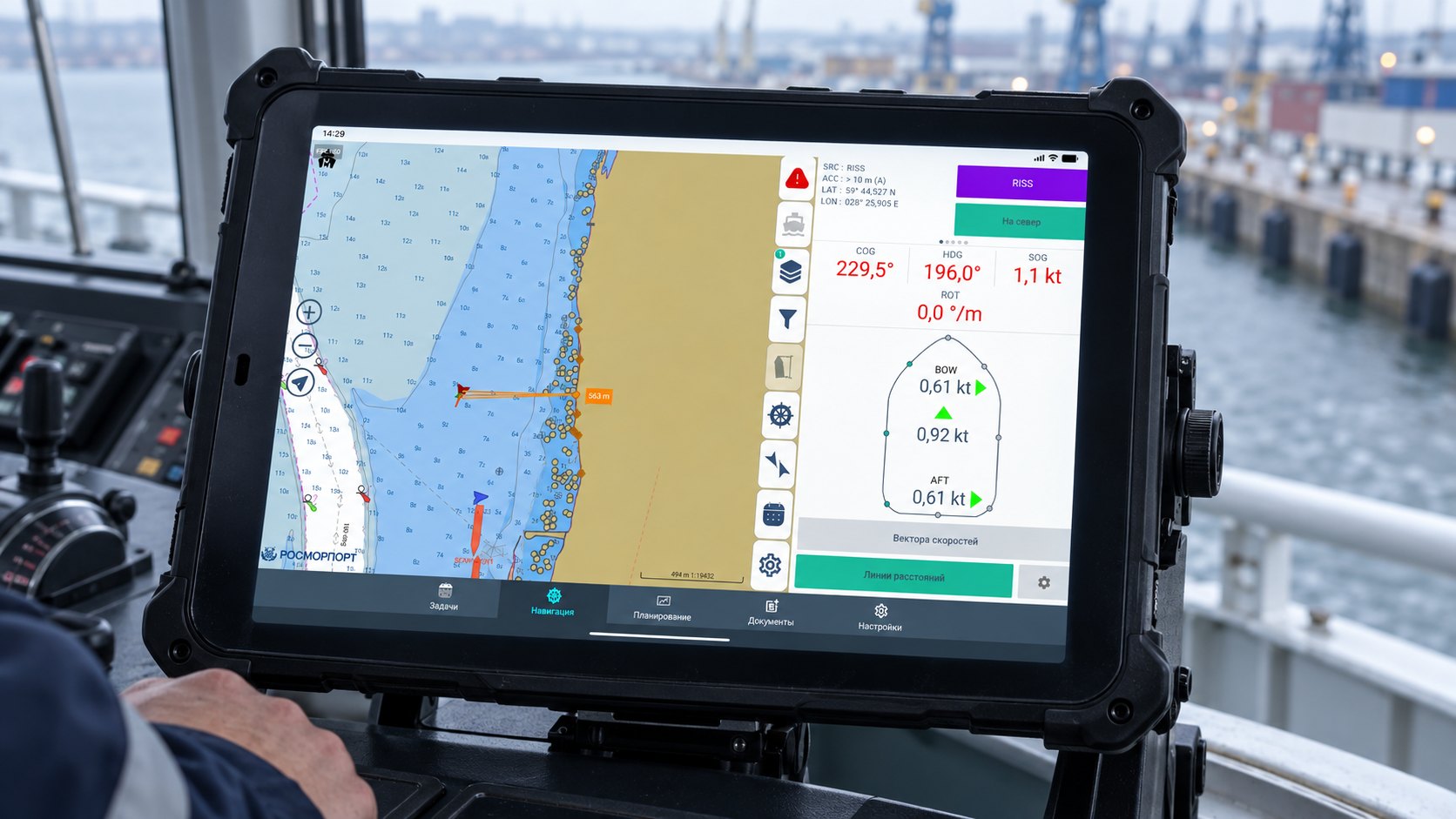
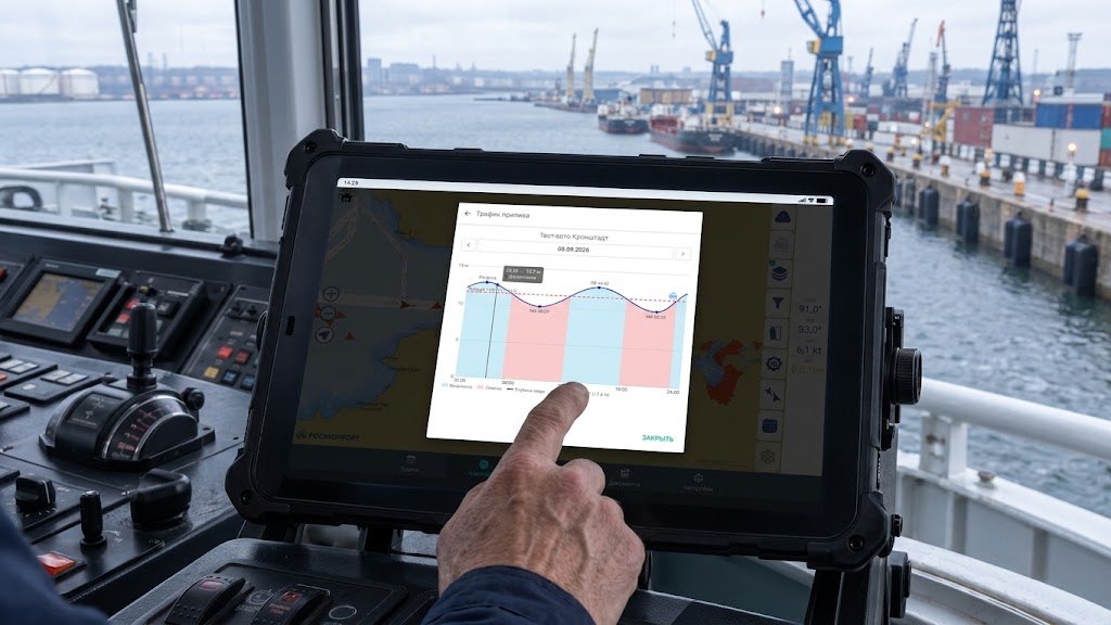
PILOT gives the pilot a single interface for working with the task and with the navigational situation. There is no need to switch between different programs to see the chart, the route and the details of the pilotage.
SWIPE
Ship and shore
Data stays with the pilot all along the route
Before going out to the vessel the pilot receives on the tablet the task, the vessel details, the route, documents and the reference data required.
During the pilotage the tablet becomes a self-contained working tool: it shows the navigational situation, helps to keep to the route and records the movement of the vessel.
Once the pilotage is complete, the track, the pilotage receipt, time stamps and other details of the operation are passed to the shore segment. The dispatcher does not have to collect this data again or copy it from paper documents.
Sent to the vessel
the task, vessel details, charts, the route and reference data.
Returned ashore
completion status, the track, the receipt, time stamps and the results of the pilotage.
In between
Work does not stop without a connection
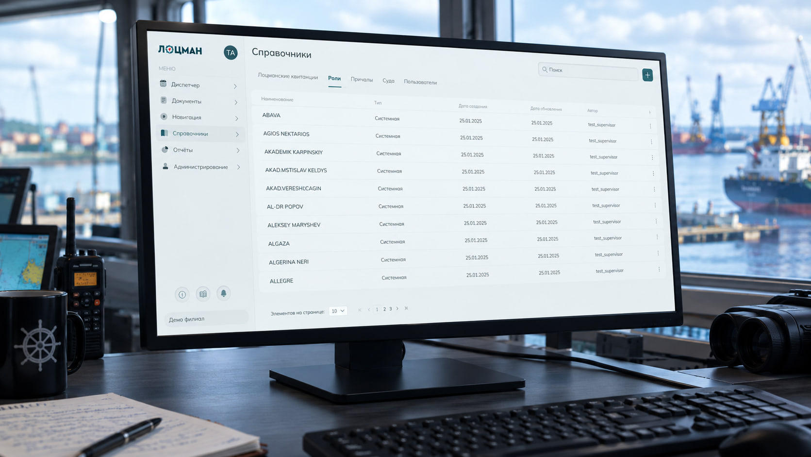
Shore segment
Dispatcher workstation and pilotage service
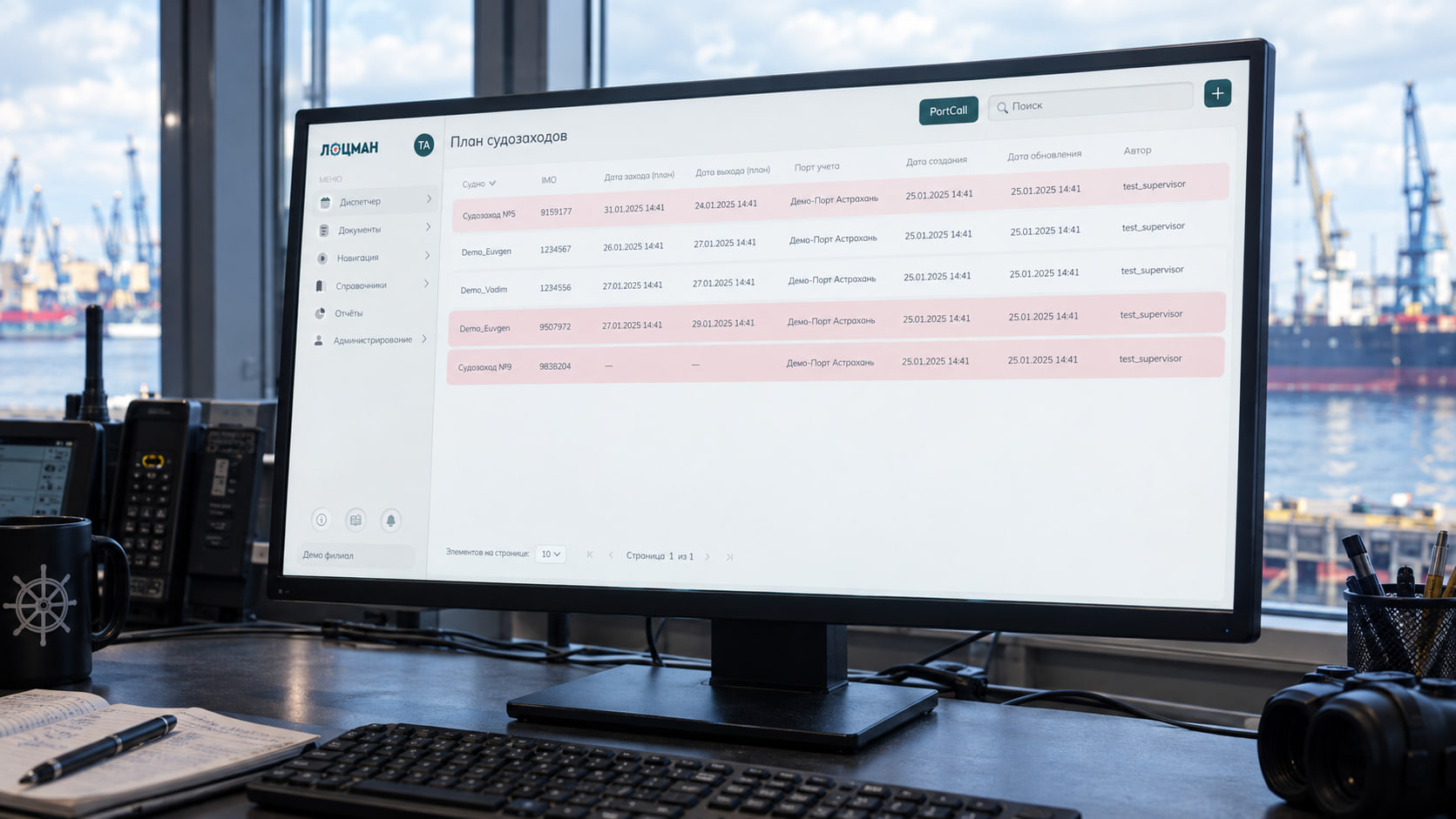
Planning and allocation of work
Maintaining the pilot duty schedule, working with the port call plan, creating tasks and assigning the pilots to carry them out.
Monitoring execution
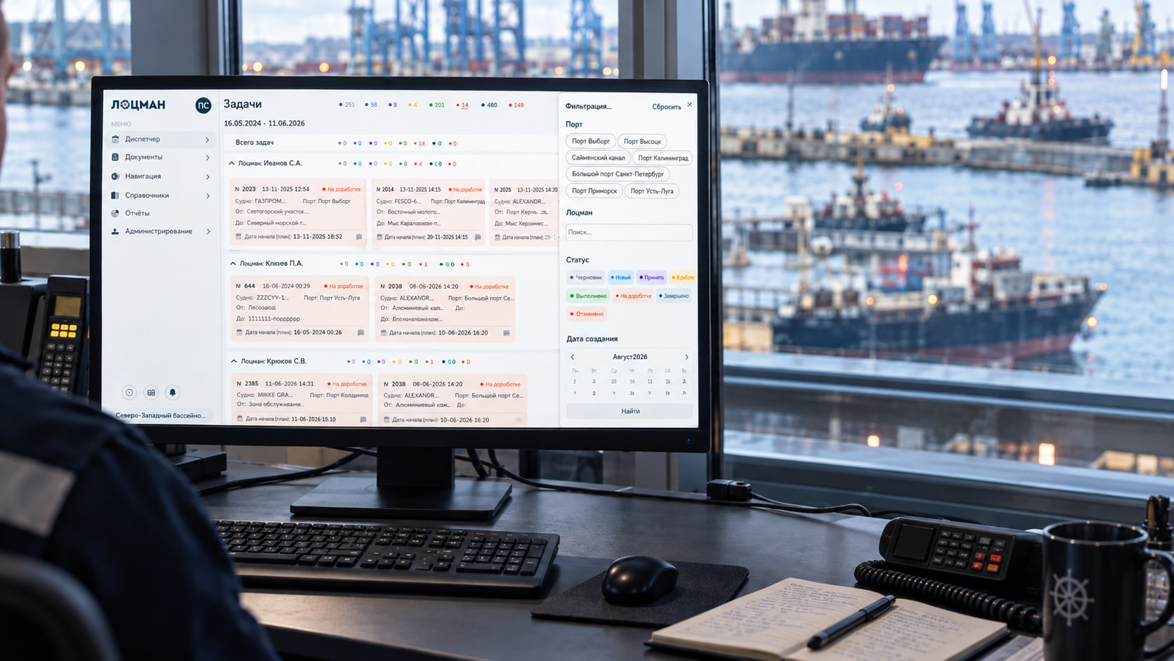
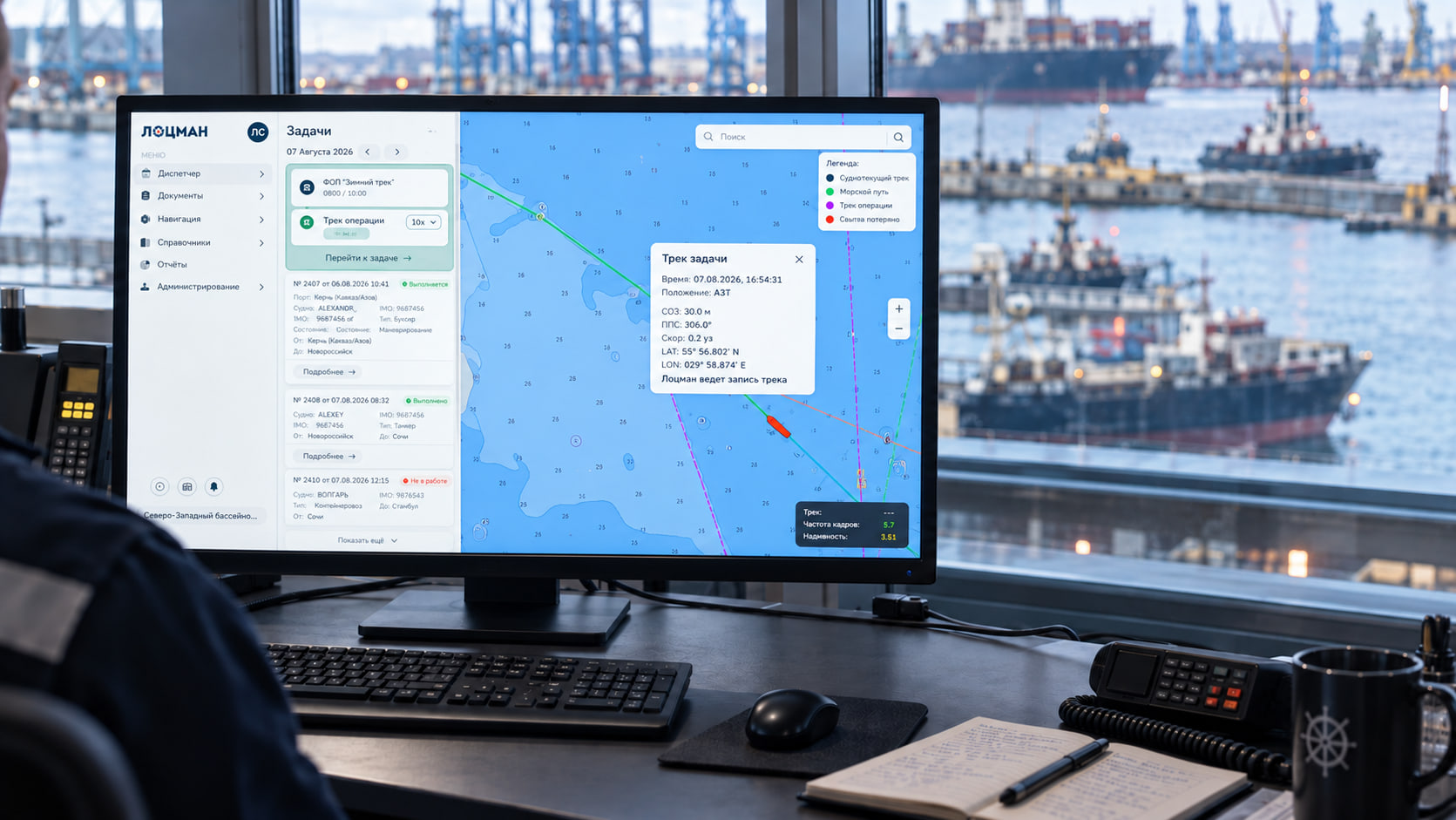
Viewing tasks and their statuses, following the stages of a pilotage, working with the operational chart, AIS targets and recorded tracks.
Documents and reporting
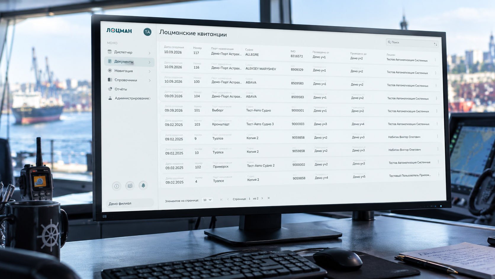
Checking pilotage receipts, exporting documents, producing reports and using the accumulated data on completed pilotages.
Reference data
Centralised maintenance of details of vessels, pilots, ports, berths, routes, areas, objects, charts and other elements of the system.
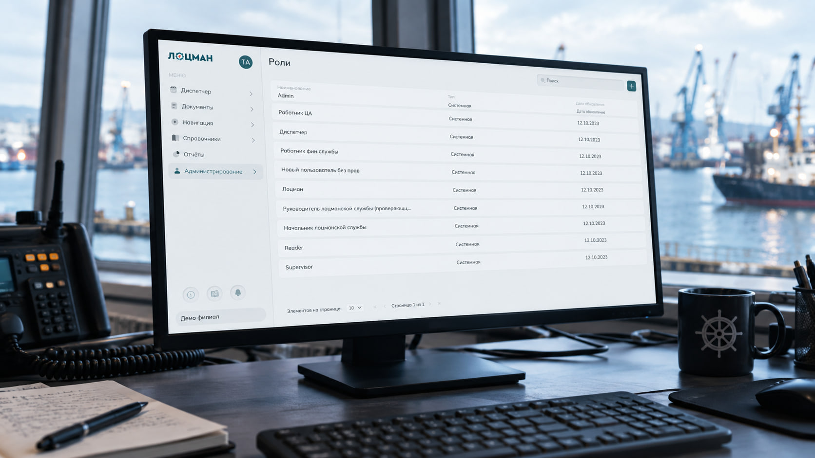
Access control
Setting up users, roles and access rights, and recording the actions of users in the system.
Integrations
PILOT provides for the exchange of information with external systems to obtain data on port calls, vessels and the navigational situation without repeated manual entry.
Routes and pilotage history
The results of every pilotage are stored in the system
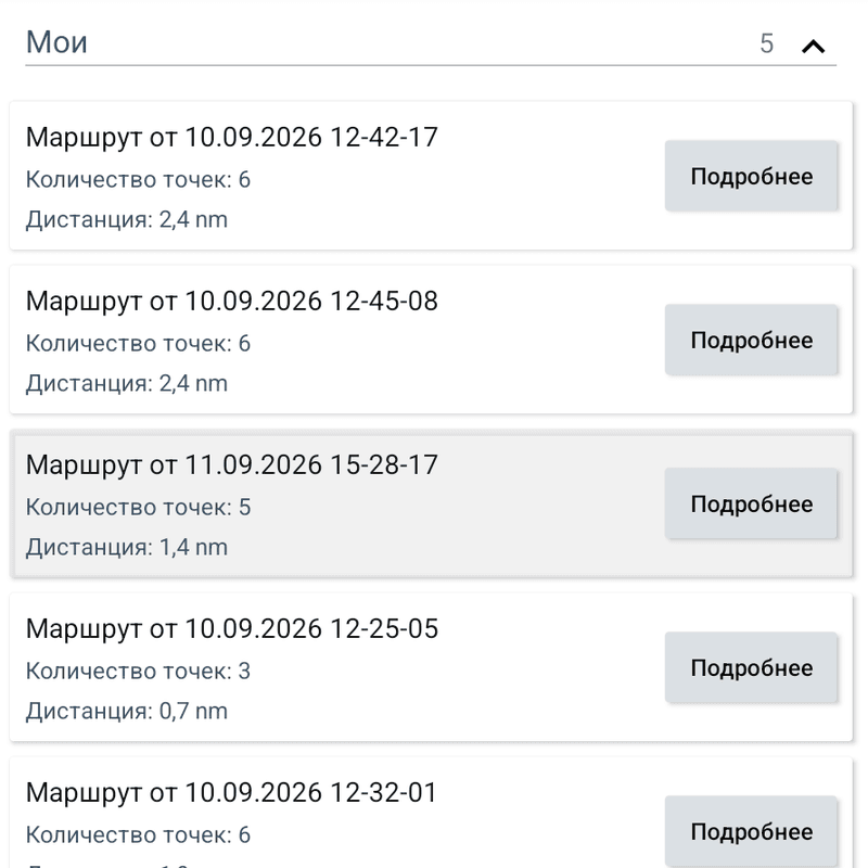
PILOT stores the route linked to the task, the actual track of the vessel, the parameters of the pilotage and the documents issued.
Users can view and replay tracks recorded earlier, analyse the passage of particular stretches and compare the actual movement of the vessel with the planned route.
The accumulated history makes it possible to use the results of completed pilotages when preparing the next operations, reviewing events and producing reports. The practical experience of a pilotage service is kept not only in documents and in the knowledge of individual specialists, but also in a single system.
PILOT development roadmap
Intelligent support for the pilot
Route analysis, warnings and recommendations during a pilotage
PILOT uses navigational data, the characteristics of the vessel, information about the water area and the accumulated routes and tracks to provide intelligent support for the pilot.
Before a pilotage begins, the system automatically assesses the chosen route, highlights potentially dangerous stretches and produces recommendations. While the vessel is under way, PILOT analyses the navigational situation and helps to draw attention to possible risks in good time.
The intelligent features of the system provide:
- alternative routes built from the available navigational, cartographic, hydrographic and weather data;
- detection of close-quarters situations, navigational dangers and stretches with insufficient depths;
- assessment of the route against the vessel characteristics and the limits of the water area;
- recommendations on passing and avoidance in line with the requirements of COLREGs 1972 and local rules of navigation;
- display of the factors and risks on which a recommendation is based;
- delivery of warnings and recommendations to the pilot tablet;
- search for information on regulations, objects, routes and the accumulated pilotage history with a text and voice assistant.
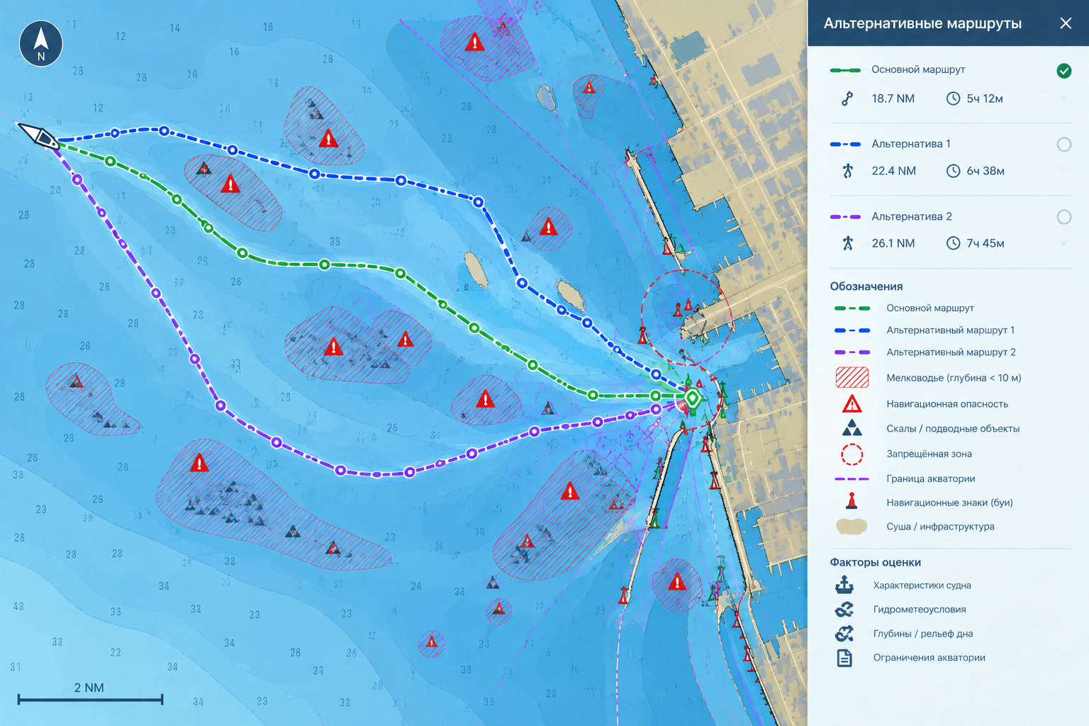
The intelligent features complement the professional tools of the pilot and help to assess the situation faster. The final decision on the route and on the actions taken during a pilotage rests with the pilot.
Russian software solution
A technological basis for the digitalisation of pilotage
PILOT has been developed as a Russian information system and brings together the shore web interface, the Android application for the pilot, navigational data, electronic documents, reporting and integration mechanisms.
The system can be extended to match the structure of a particular organisation and the composition of its branches, ports and pilotage units. Integration interfaces make it possible to fit PILOT into the existing information environment of the enterprise.
Register of Russian software
- Registry entry
- № 7401
- Name in the register
- MOORiNET
- Rights holder
- OOO INTELLECTIKA CONSULTING
Demonstration
We will show PILOT at work on a real pilotage
The demonstration shows the full working scenario:
- maintaining the duty schedule and the port call plan;
- creating a task and assigning a pilot;
- receiving the task on the tablet;
- working with the chart, AIS targets and the route;
- recording and replaying the track;
- filling in the pilotage receipt;
- passing the results to the shore segment;
- monitoring execution and working with reporting data.